Object Location Map
Browse and discover collection objects from across the globe with the Object Location Map.
Geocoded Locations
 100+ Locations
 10+ Locations
 < 10 Locations
 Single Location
Object cataloging contains place names which are geocoded for display on a map. Click on a location indicator pin or circle to zoom into that area. You can refine your search down to a specific place name. Click the place name link to see objects in the online collections associated with that place.
Please note this map does not capture all Museum objects. Some place name data is either too broad (Asia) or too specific (altar) to geocode. Over 92% of the collection is geocoded here, and you can use collections search to browse and filter on other cataloging information.
Questions/Comments please email digitalmedia@pennmuseum.org
All work on this Object Location Map was done by Michael W. Condiff of the Penn Museum.
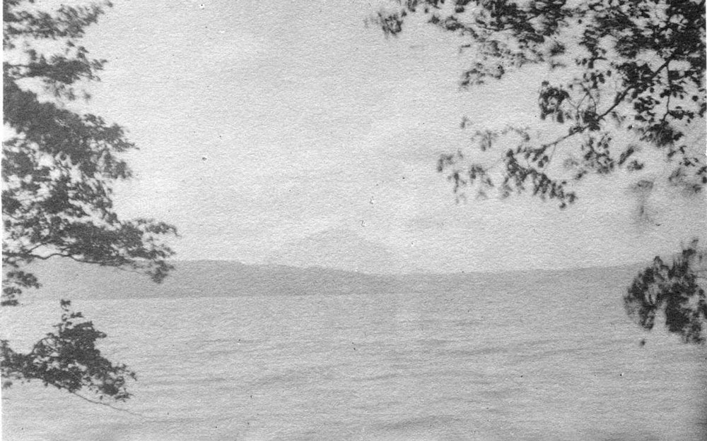
Hokkaido, Japan
In 1901, Hiram M. Hiller Jr. traveled to the northernmost island of Japan, Hokkaido, on behalf of the Penn Museum. The expedition produced over 250 artifacts as well as three journals of notes and numerous lantern slides, providing the Penn Museum with one of the best-documented Ainu collections in the US. Hiller also collected a small sample of pottery from the ancient Jomon culture which dates as far as back 12,000 BCE, some of the oldest known in the world.
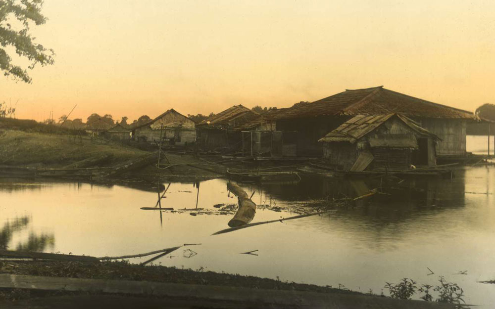
Borneo
The island of Borneo sits off the coast of Southeast Asia and is divided among the countries of Malaysia, Indonesia, and tiny Brunei. Between 1896 and 1898, several collecting expeditions to Borneo were undertaken. They spent six months in Sarawak, traveling upriver to Dayak longhouses, they undertook an expedition to Dutch West Borneo, spending several months on the Kapuas River, and then they visited the Mahakam River in Dutch East Borneo.